The CAA has issued a new Safety Sense leaflet covering Weight, Balance and Performance, and also created a page on its website giving guidance for flying in mountainous areas.
The new Safety Sense leaflet is SS109 and can be downloaded free here.
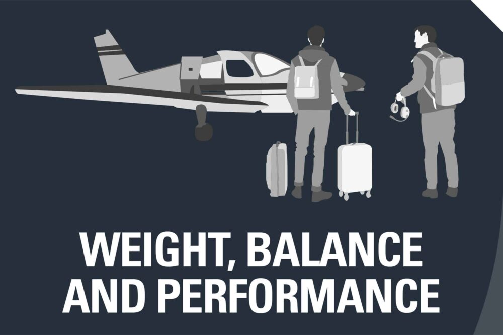
The CAA said, “Weight, balance and aircraft performance are important factors for safe flying. This leaflet is intended to refresh pilots on the key principles and application.
“As pilot in command, you are legally responsible for ensuring your aircraft remains within weight and balance limitations throughout a flight, and that the aircraft can safely take off, climb and land within the applicable runway lengths and operating areas.
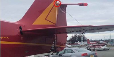
“There have been many fatal accidents involving general aviation aircraft in which overloading or flying outside the permitted centre of gravity envelope were contributory factors.
“A common theme is a failure to account for additional payload above the norm or appreciate the impact of environmental conditions such as increased density altitude.”
Safety Sense leaflets
CAA on Mountain Flying
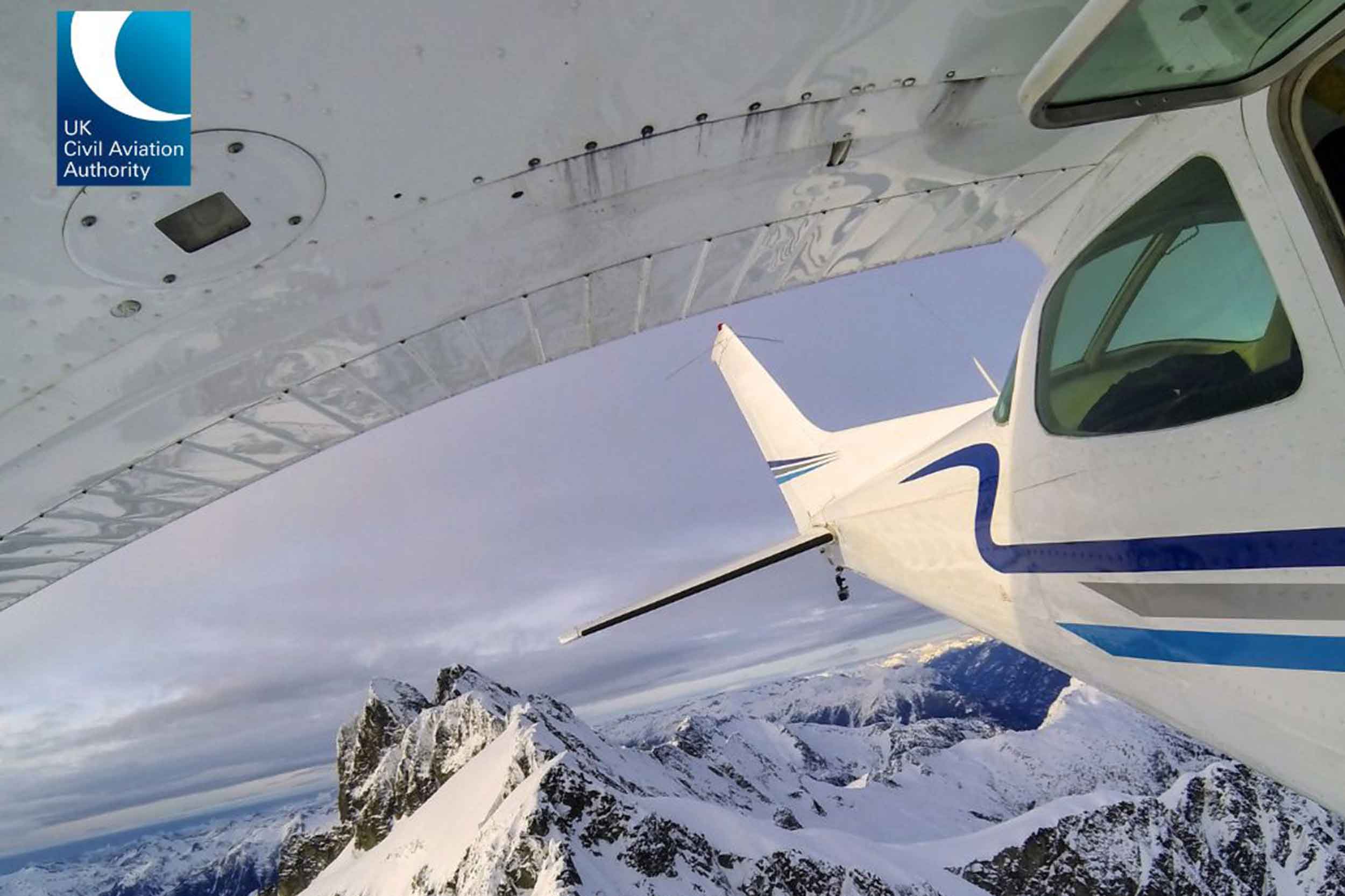
The new CAA webpage on mountain flying covers topics such as terrain clearance, flying abroad, weather and navigation
The CAA said, “It’s important pilots also seek local knowledge when flying in these areas.
“Mountain ranges such as the Alps may be too high to cross above surrounding terrain without oxygen and a turbocharged aircraft.
“Flying below the peaks is acceptable in some circumstances, however you must plan your route carefully and it is recommended to receive training on mountain flying in the relevant areas before doing so.”
If planning a route through the Alps or areas of similar terrain, the CAA recommends:
- Check the local VFR routes and confirm the minimum recommended VFR crossing altitudes.
- Navigation information should be confirmed via review of the relevant ICAO chart for the state and guidance in the relevant AIP.
- Consult the relevant weather forecasts. Some alpine states such as Switzerland and Austria publish specific mountain route forecasts, known as ‘GAFORS’ – these can be found via the national aviation weather services and may be available via moving map software.
- Information and data from moving map devices should be checked against official sources of information.