flying high pressure
Special feature

Simon Keeling's top tips for flying in winter

FLYER’s expert weatherman shares his top 10 ‘winter weather’ tips for pilots to take advantage of those clear, calm days and hours that occur between the worst that winter has to offer…


A s 2024 draws to a close, it’s fair to say that the weather hasn’t been marvellous… Spring was warm, wet and dull, with a succession of low pressure and frontal systems bringing rain and wind. In fact, the summer was not much better – and rain was never far away. So far the winter has brought howling winds and plenty of rain. As always, it pays to keep on top of what to look out for when flying in winter – so it is a wise pilot who takes time refresh his or her knowledge… FLYER‘s weather guru, Simon Keeling, reminds us of his top 10 tips.

Let’s get to the basics first. Winter is defined, meteorologically, as the months of December, January and February. Of course, similar conditions can occur outside these times, but the definition serves to remind us when the worst of the weather can be.

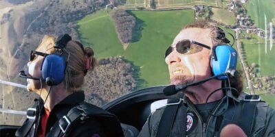
But winter doesn’t necessarily mean bad flying conditions. Given the right pressure situation and a bit of luck, some of the very best flying of the year can be found during these short winter days.

So, what do I think you need to know about flying this winter? Here are my top 10 winter weather tips.

1. Know the weather codes!

Whether you’re just learning to fly, or have had your PPL for many years, it’s easy to forget what the codes used in a Metar, TAF and on Form 215 mean. After all, how often do you see ‘SNSH’ through the summer months?

The key weather codes you need to know through the winter season are SN (snow), GR (hail), GS (snow pellets) and TS (thunderstorms). 

Codes usually seen throughout the year include BR (mist) and FG (fog). But did you also know BC (patches) and MI (shallow)? These are added to weather reports to denote the character of the fog.

Some Metar reports also contain runway state information. Have you seen something like 27599392 before?

This strip of numbers refers to the runway number (27), what is deposited on the runway (5: in this case meaning wet snow), the extent of the contamination (9: indicating 51 to 100%), the depth of contamination (93 meaning 15cm), and the braking action (92: indicating medium or poor).

winter flying
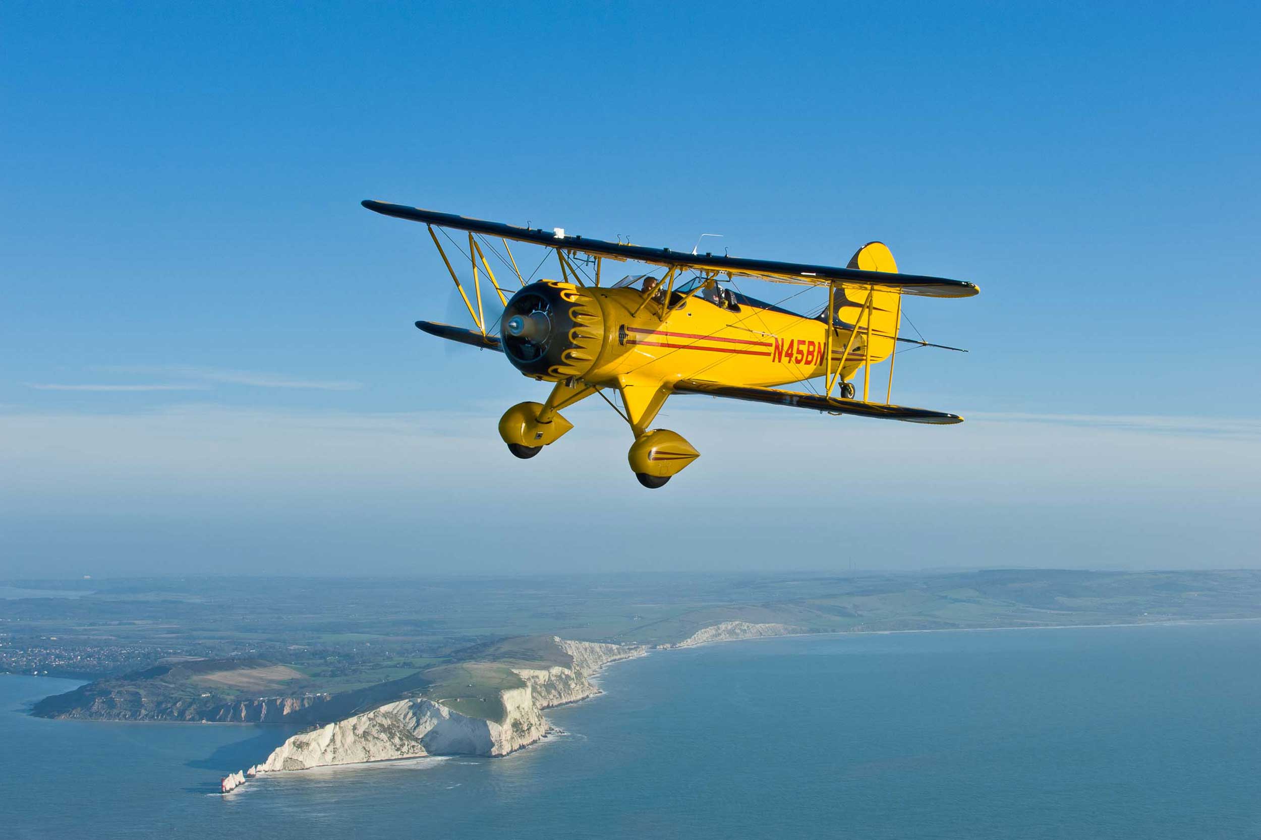
Winter doesn’t necessarily mean bad flying conditions. Given the right pressure situation and a bit of luck, some of the very best flying of the year can be found during these short winter days

2. Cold fronts are your worst enemy

Cold fronts are shown on weather maps as solid lines with solid triangles on them, sometimes coloured blue. An active cold front produces precipitation, whether it’s snow, sleet or rain. It will have the characteristics of a classic cold front, a narrow band of heavy rain, squally winds ahead of it, veering winds and reduced visibility.

Remember that if the front is active and is producing rain (take a look at the radar to see how active the front is, if there are bright colours, it’s heavy rain and therefore active), it’s likely to contain embedded cumulonimbus. And what do cumulonimbus clouds make? Thunderstorms!

Because of the temperature decrease across a cold front, it can also be an area where rain turns readily to snow.

If flying through the front, the temperature profile of the atmosphere may change suddenly and pilots can quickly find themselves moving, in a very short space of time, from an area where temperatures were above freezing, to an area where they are well below freezing. This has obvious implications for icing.

Winds veer behind a cold front (that is, they change clockwise, i.e. from a westerly to a north-westerly). A good rule of thumb is that the sharper the veer, the more active the front.

The best policy is to avoid flying through active cold fronts altogether. Treat them with respect and don’t be tempted to run the cumulonimbus and icing gauntlet.

Stay on the ground and watch with awe as the front passes through, in anticipation of number three.

aircraft parked
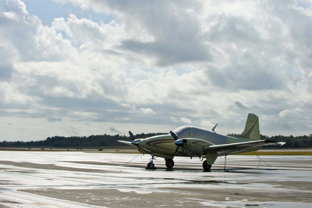
Don't be tempted to run the gauntlet of icing conditions

3. Cold fronts can also be your best friend

However, the same active cold front can be very good news for pilots in the winter. As the front moves away, it frequently leaves an area of clear skies and drier weather behind. The wind will drop, visibility increases significantly and you will notice the QNH rising.

Dropping temperatures do result in an icing risk, especially if the airframe is still wet after the rain. But if the airframe can be dried before a flight, get ready to take advantage of the fine weather, which often lasts for two hours or so after the main front has cleared.

I hear frequently from pilots that they won’t be flying because ‘they have seen fronts on the charts’, but many miss the opportunity for some wonderful flying.

If you see that active front is moving fairly quickly, get yourself down to the airfield, grab a cuppa and sit it out. If you can be in the air by the time it has cleared, you’re in for a real treat.

Do remember that showers are likely to follow within two to three hours of the cold front clearance and as temperatures are still dropping these could turn to sleet or snow. If you want a hassle-free flight, it’s best to be on the ground before they arrive.

4. High pressure and easterly gloom

During the winter months an anticyclone (high pressure) can become slow-moving and centred to the north of the UK or over Scandinavia. In this location, the high pressure brings an easterly wind through the UK and Ireland.

Often skies can be clear on the first day that the high pressure is in place, but by day two, visibility begins to deteriorate as particulates of pollution are introduced from industrial areas, leading to the formation of mist and haze.

By day three, visibility is often down to 5km and frequently lower than this, with mist and fog.

The southern part of the high pressure can also be a zone of stronger winds. In this case, the mist and haze lifts to low cloud, which can last for days, sitting in the inversion layer, giving reduced visibility and low cloud.

Western parts of the country can experience much better conditions, and can be bathed in sunshine on these days, with excellent visibility.

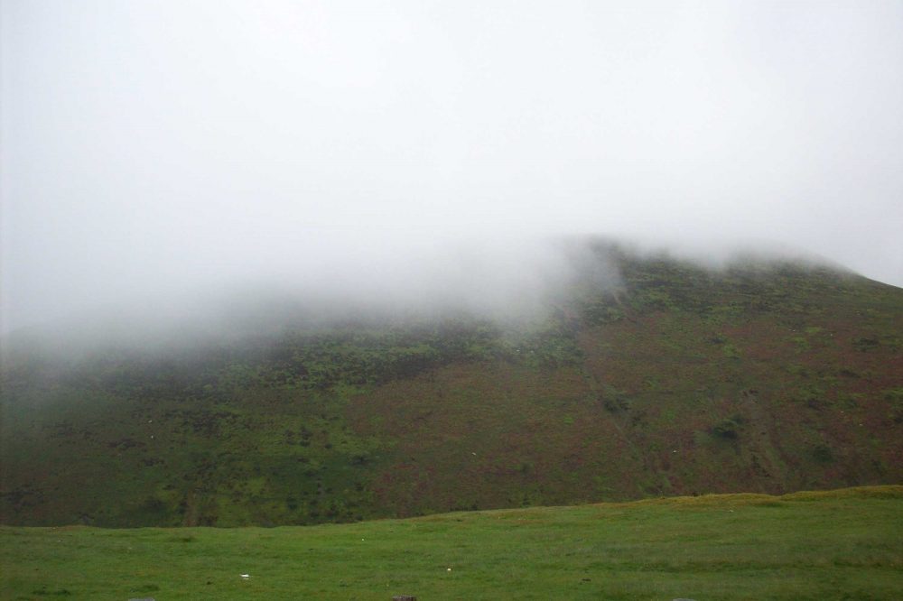
This is because the inversion layer is lower than the high ground which lies east of these regions and so the murk cannot make it over the hills.

Flying in winter and finding fog on the runway
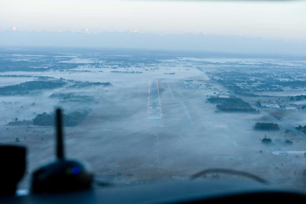
Foggy runways can be tricky

5. Ridges of high pressure? Great opportunities

Don’t be too despondent if the weather chart is full of low pressure. Take a look behind the low to see what is following.

The V-shaped kinks in the isobars are high pressure and often after a spell of wet and windy weather, quite large ridges can build. These bring rapidly improving conditions, light winds, good visibility and high cloud bases.

Forecast weather charts are pretty reliable up to around two days in advance, so you can be fairly certain of the timing. If they build during the day, get the club aircraft booked and prepare for a few hours of pleasant flying.

Don’t be caught out though, ridges can be fast-moving features and disappear as quickly as they arrive.

Be certain of the timing of the ridge as conditions can deteriorate quickly once it has passed through.


night flying
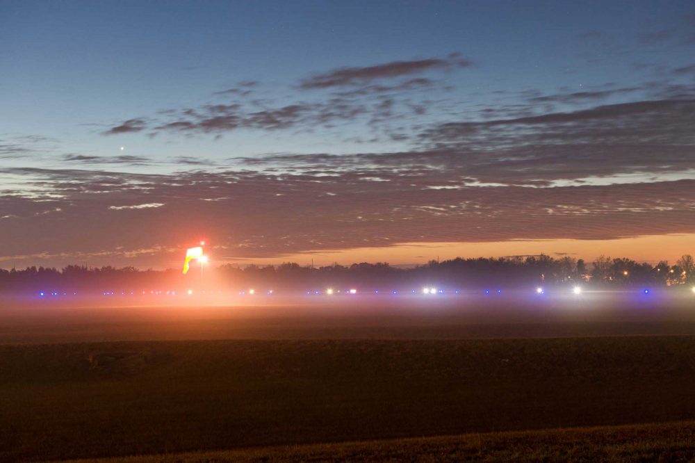
Clear skies can lead to foggy nights

6. Clear days and foggy nights

If ridges occur during the daytime, they can bring some fine conditions, but if they occur at night the story is usually different. Under clear skies and light winds, temperatures fall sharply and mist and fog patches can form.

If the ridge hangs around for a while, fog can be reluctant to clear, and despite the best efforts of forecasts it may not be until a front approaches, or the winds increase above 10kt, that the fog will finally clear. 

Keep your eye on the forecast charts. Ridge timings are fairly reliable up to about two days in advance, so if the ridge arrives in an afternoon, then persists overnight into the following day, the best time to fly would usually be during that first afternoon.

7. Recipe for fog

While we’re talking of fog, let’s consider the factors that go into creating it. There are three main types of fog – radiation, advection and hill fog.

Fog can form due to three main features: a sufficiently moist air mass, the temperature to fall to a level at which the air can no longer sustain the water vapour within it as an invisible gas, and light winds (4-7kt).

If you see these factors developing on the charts, and hear them in forecasts, it’s time to think about the possibility of fog formation.

8. Warm fronts bring icing

I’m probably being unfair to the warm front. Some bring little more than high or medium-level cloud (cirrus and cirrostratus) and can make for good flying conditions. However, many signal the start of a change in weather.

They often follow a ridge and can rightly be seen as the party-pooper of the weather world.

The first signs of an approaching warm front is high level, wispy cirrus. In a couple of hours this thickens to medium-level altostratus – and this is where the trouble can start. Altostratus clouds bring the first rain of the frontal system.

As the lighter, warm air associated with the front meets the heavier, cold air ahead, it rises, creating cloud and rain and allowing rain to start falling from it.

If you’re flying your aircraft through the colder air, the airframe is below freezing and the liquid now falling in the warmer air turns to ice the moment it hits the airframe.

Icing forecasting has improved immensely in recent years, but it’s still an inexact part of forecasting, so being aware is vital.

Warm fronts fog
Warm fronts bring icing in the winter months, so watch out for forecasts of rain, especially talk of ‘turning colder’ in the forecast

9. Plan, plan and plan again

So, you want to fly on… Saturday? When are you first looking at the weather charts? Thursday? Actually, you should be looking at a weather chart every day, even when not flying.

Weather forecasting is a skill that can become rusty when you’ve been away from it. I know as a professional forecaster that if I’ve been away, that first shift is always a hard one.

So stay in tune with the weather every day. You don’t need to give yourself a full briefing, just take a quick look at the weather chart, such as at my site at www.weatherweb.net.

Stay familiar with what the chart looks like and you’ll be amazed at how much easier it is to pick up the weather when you’re planning to fly.

Back to the weekend question. I think you should be looking at the charts and considering the forecast starting on Monday. Then keep your eye on the forecast charts every day.

Think about the scenarios that could occur and how the weather might conspire against you. Have a checklist of weather that should concern you – fog, low cloud, snow, ice, thunderstorms, strong winds.

Then, when you read the official forecasts for Saturday, you’ll be in a better position to make your assessment as to whether it’s worth spending your well-earned brownie points!

inversion later
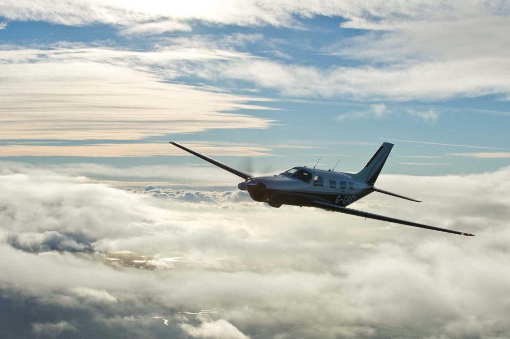
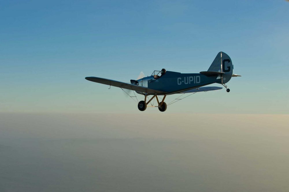
Flying over an inversion layer

10. Forecasts you need… and some you don’t!

A question I’m frequently asked at Weather School is that now there is so much weather information available, what’s good and what’s bad?

It’s good to turn this question around so pilots think about what they want to achieve when looking at forecasts.

Be aware of your motives. You’re looking for an objective forecast, not the forecast you want to see! If you are looking at more than three websites, then you’re in danger of ‘seeking and hoping that ye shall find’!

I’m striving to make the FLYER Weather Channel the very best place for pilots to get weather information, in a quick and easy-to-understand format.

The videos are intended to be non-technical and give an overview, letting you know if you are likely to be able to fly.

Another invaluable forecast, which is one of the best kept secrets in GA, is the UK Update and Outlook text, found on the UK Met Office website. Log on to the aviation section (it’s free) and then access AIRMETS. 

This forecast is issued four times each day and contains a written forecast of expected weather conditions for flying in the next 24 hours, as well as an outlook for the following day. It has cloud base, rainfall timing and hazard information all in one forecast and is one of the very best briefing documents for pilots.

Whatever source of weather information you use, make sure you know where the data is coming from. Many websites use exactly the same computer model (the GFS from the US Weather Service).

This allows free access to a wealth of data, and is manipulated by computer aficionados into graphics that blow the mind.

However, it is still only the same information that you will find on other, more basic websites.

Our man with the weather!

FLYER’s very own weatherman, Dr Simon Keeling, is a self-confessed weather anorak!

He’s founder and MD of weatherweb.net and Weather School. His stated aim is to take the dark art out of forecasting and make meteorology accessible to all.

Simon’s FLYER Weather Channel videos are updated at 1230 every Monday and Thursday at www.flyer.co.uk


Share

1 comment

Leave a Reply

Share
Topics
  • 2
  • 3
Enjoy 3 Free articles OR Join today to enjoy unlimited access to all content
Join today

We use cookies to give you the best online experience. Please let us know if you agree to all of these cookies.