Civil Air Support, the volunteer pilot charity, is flying photographic missions to show the extensive flooding across the country including the Midlands, Cumbria, and the far North.
Detailed images affected areas requires expensive photographic equipment, trained crews and high-wing aircraft that are capable of controlled slow flight. The cost to deploy Emergency Services aircraft would be prohibitive for this kind of observational flying, and CAS services are offered to local authorities and local resilience forums free of charge.
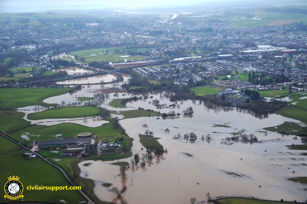
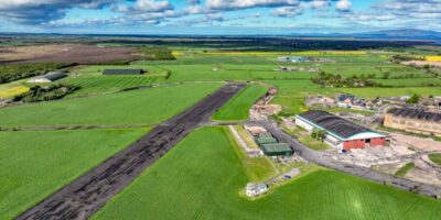
A recent observation mission saw an Ikarus C42 high-wing microlight aircraft piloted by CAS Operations Manager Niall Paterson cover areas of southwest Scotland and Cumbria where flood warning alerts had been issued. During the 1hr 52m flight, CAS observer Adrian Johnson captured images of roads and urban areas at a high risk of flooding around Bassenthwaite Lake, Dumfries and Keswick.
Niall Paterson said the threat to public safety, property and livestock is significant.
“After recording the impact of high water levels in Dumfries, we diverted from our planned routing in response to an alert of flooding around Keswick,” said Niall. “We were able to capture images that illustrated not only the extent of the flooding, but also the locations which appeared to be most at risk”.
Civil Air Support