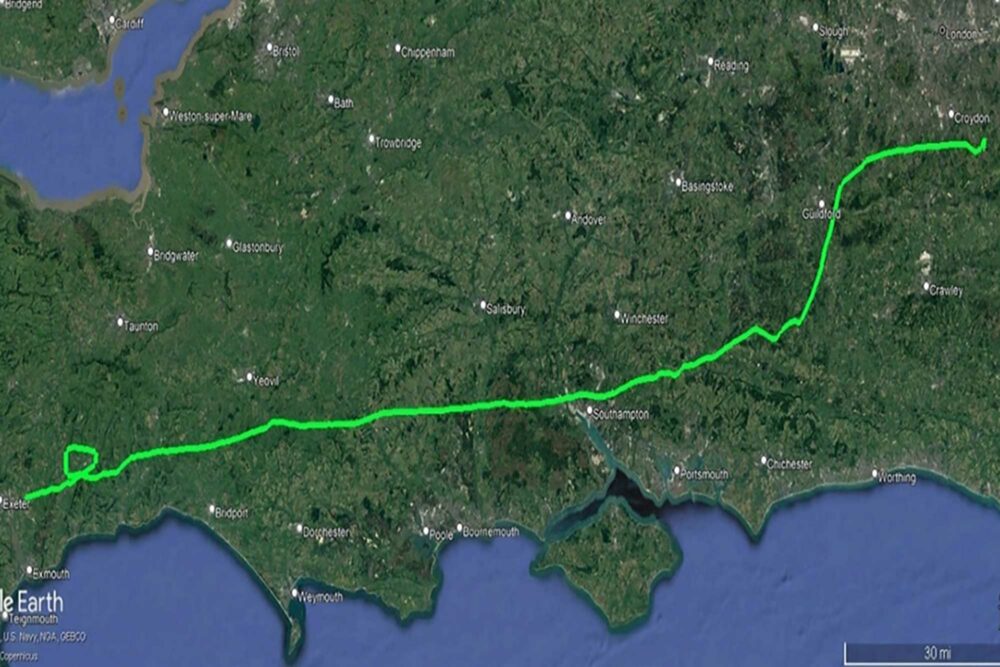
At 1311:37 the pilot contacted Exeter Radar on 128.98 MHz and requested an ILS approach to Runway 26. The pilot stated that he had prepared for and briefed himself on the approach in advance, and although he had tuned the ILS frequency in the Garmin GNS430, he did not use the GPS function to navigate throughout the flight.
At 1324 the radar controller made a transmission: ‘you’re closing the localiser from the right, when established descend with the glide path’.
The pilot recalled noticing the glideslope bar was centralised and he took this to indicate he was on the expected glide path.
He began his descent from the platform altitude of 2,600ft but did not confirm his position with the DME.
The aircraft was flying in IMC and the pilot was not visual with the ground. He did not recall seeing a red flag on the CDI, which would have indicated the instrument was unserviceable. When he initiated the descent, he was 12.5nm from the threshold of Runway 26, which was approximately 5nm before the expected descent point for the approach profile.
The pilot continued his descent, with varying rates that averaged approximately 600fpm, believing that the static glideslope deviation indicator on the CDI was confirming the aircraft’s correct position on the glide path.
G-BOTI descended to 1,155ft amsl at 9.4nm from the runway threshold when the radar controller queried his altitude. Three minutes after the pilot had begun descending, the controller then instructed him to climb. In response, the pilot initially arrested his descent and momentarily levelled the aircraft.
The aircraft then descended to a minimum altitude of 1,150ft before the pilot initiated a climb. The aircraft was 400ft above terrain at its closest point, and the pilot did not have visual contact with the ground.
The pilot then flew a go-around, during which he noticed that the glideslope deviation indicator on the CDI remained centralised, and he realised it was unserviceable. Following a discussion with ATC, he requested vectors for another ILS approach to Runway 26. On the subsequent approach, he used the localiser indicator and stored waypoints in the Garmin GNS430 to verify his position and descent point, and he flew to a successful landing.
Situational Awareness
Pilot situational awareness is understanding the aircraft’s position in space, being aware of the potential factors which can impact the flight and being able to predict the future effects of those factors. It is important for pilots to maintain good situational awareness for effective performance. When a pilot does not have an accurate understanding of the aircraft state or position, the fidelity of those predictions is compromised.
Nick’s Analysis
The pilot of G-BOTI did not have an accurate understanding of the aircraft’s position relative to the runway, which compromised his situational awareness, particularly in relation to the high terrain and the runway threshold, to the degree that he began his descent 5nm earlier than the charts allowed.
This may have been as a result of his relatively low experience flying ILS approaches, compounded by the clearance received by ATC to intercept the ILS at a height which was not on the approach chart.
The pilot believed that the CDI glideslope deviation bar was telling him he was at his descent point because he did not see an orange failure flag, which would have indicated the CDI was not serviceable and might have alerted him to his incorrect mental model of his position relative to the runway.
When an aircraft approaches a descent point from an altitude below the glideslope, the glideslope deviation indicator will show deviation reducing until it becomes zero at the descent point.
A static indicator showing no deviation may be a compelling reason to believe that the aircraft is on the glideslope or, in this case, that it has reached the descent point. The pilot did not recall a visible flag on the instrument which meant the CDI display would have been consistent with what he expected to see at that point.
However, a check of the DME is an important, independent way to confirm that the aircraft is, in fact, where the pilot thinks it is. A DME check by the pilot of G-BOTI would have revealed that he was further from the airport than he thought and outside the 8nm within which the glidepath signal was reliable.
In addition, a check of the DME as the aircraft descended through 2,200ft amsl would also have highlighted the fact that the aircraft was below the descent profile.
But for the alert monitoring of the Exeter Radar controller, this incident may well have resulted in a Controlled Flight Into Terrain (CFIT) accident. Alternatively, the cloud base may have been clear of the terrain sufficiently for the pilot to realise his mistake and climb away from the ground, albeit very shaken.
It’s a good example of the unforgiving nature of flying in IMC when an apparently small mistake is made – in this case, the pilot’s omission in checking the distance from the airport using the Distance Measuring Equipment (DME).
The DME is a simple piece of navigation kit on an aircraft, acting as a ‘reverse transponder’: the aircraft interrogates the ground DME station which responds to the aircraft, and the resulting calculated distance is displayed in the aircraft.
It therefore presents ‘slant range’ – the straight-line distance between the aircraft and ground station. Therefore, if you fly right over the DME the distance shown will be the vertical distance between aircraft and station. So if you fly over a DME at a height of 3,000ft, the DME will show around 0.5nm.
Even though the DME gives no indication of bearing to the pilot, it’s a very useful aid nonetheless, even in visual flying. You might use it to give yourself an awareness of a boundary of controlled airspace, perhaps.
Unfortunately, in some aircraft the DME box may be mounted as something of an afterthought, well out of the pilot’s immediate view and making it difficult to keep within the instrument flying scan. Nonetheless, it’s vital that pilots refer to the DME throughout an approach.
For many approach procedures the use of DME is a requirement, as it is with the Exeter ILS. Most charts will display a vertical profile of the approach in terms of altitude (and height) against DME.
This allows pilots to crosscheck that the correct vertical path is being followed. It is a good idea to check that you are at the correct altitude as you commence descent on the ILS. Such a check would have given an immediate indication to the pilot in this incident that all was not well with the approach.
All airlines will have cockpit procedures to ensure that some sort of formal check of altitude against distance is made during an approach, perhaps at the Final Approach Fix.
Alternatively, in the absence of a chart indication of vertical profile, experienced IFR-rated pilots will use the simple calculation of 300ft per mile to work out their own vertical profile of an approach in order to provide some sort of backup to pure indications of ILS or even more modern PBN approaches.
The point is that it is always a good idea to back up primary cockpit indications with as many secondary indications when in IMC – and even in VMC. So while setting up for an ILS, for example, tune in other navigation aids where possible to improve situational awareness.
This might include the ADF, if an NDB is located at the airfield, such that the pilot should have a needle pointing at the airfield at all times. For an RNP (i.e. a GPS approach), back up the GPS indications with ADF and DME if possible. All of these actions add protection to pilots against errors or equipment malfunction, such as the intermittently faulty CDI in this incident.
If you are undergoing training towards the IR (R) qualification, ask your instructor to show you how to improve your situational awareness using the above methods. This is clearly dependent on the navigation kit fitted to the aircraft.
Summary: flying approaches in IMC
- Don’t rely on single sources of navigation information if other sources are available.
- Do crosscheck distances against altitude.
- If there is any doubt about navigational accuracy while on an approach in IMC, go-around and resolve the issue before trying again.