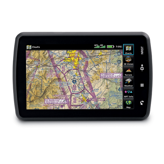
Garmin has announced it has expanded its electronic chart coverage of European VFR terminal charts and Safe Taxi airport diagrams for specific products. EASA is expected to approve European SafeTaxi for Garmin G500, G600, G500H, G1000, G1000H, G900X, G950, and GMX 200 units ‘within weeks’. The expanded coverage will include diagrams for almost 500 European airports spread through 15 countries. European VFR terminal charts with data for over 2,200 airports in 29 countries will be integrated into aera 795/796 portables. The database includes Visual Approach, Landing and Area Charts, plus aerodrome directory, communications and regulatory information. Pricing depends on how pilots choose or are able to upgrade. The company will be offering an offer price of $199 until August 31.
Garmin has also introduced a new European SafeTaxi database, offering geo-referenced airport diagrams for nearly 500 European airports in 15 different countries. SafeTaxi identifies runways, taxiways, FBOs, and hangars, as well as the aircraft’s location on the field. SafeTaxi is geo-referenced, so pilots will see their aircraft move along the taxiway diagram on the navigation screen. European SafeTaxi is available today as an update option for select Garmin portables, the GTN 650/750 series and the G3X glass flight display. Within weeks, the European Aviation Safety Agency (EASA) is expected to approve European Safe Taxi for Garmin’s G500, G600, G500H, G1000, G1000H, G900X, G950, and GMX 200 platforms. For more details about the new updates, visit <a href=’http://www.garmin.com’ target=’_blank’>www.garmin.com</a>