Flying Adventure

Forget Top Gun. Go TopNav

Neville Parton’s flying nemesis was VFR navigation so he entered the TopNav competition with a friend from his RAF days – and won

Flying, Richard Bach, author of Jonathan Livingston Seagull, famously said, is all about overcoming our fears. Although for most low to mid-hours private pilots it’s perhaps more often about overcoming our embarrassment. After all, surely everyone who flies wants to appear as professional as possible in all they do, whether that’s in their RT exchanges, or in the smoothest of landings.

However, for many private pilots the reality of restricted hours due to financial constraints, family commitments or even just the British weather means that they are not as far ahead of the drag curve as they’d like to be.

For me, perhaps because of a very patchy flying history brought about entirely by medical issues, when I’ve been able to fly I’ve always been keen to try and find opportunities to challenge myself and develop my flying skills. This has led to opportunities as diverse as running an RAF Flying Club, through becoming a qualified motor-glider instructor with the Air Cadets, to night qualification and differences training covering VP props, retractable undercarriage and tailwheel types. However, most of these activities involved flying in the local area, with only occasional cross-country flights.

So, following on from last year’s big challenge (entry into the Dawn to Dusk competition), I wanted to find something else to test myself with – and hopefully further sharpen up my flying skills along the way.

As I searched online for possible activities, I came across something I’d never heard of before: the TopNav competition run by the Royal Institute for Navigation (RIN). This managed to combine sounding both challenging and terrifying, as VFR navigation has been my bête noire from my earliest experiences of flying on an ATC Scholarship in East Anglia in the late 1970s.

Top Nav pilots
Neville, right, and his friend and engineering colleague from Neville's RAF days, Nick Cox, left. The flying duo took on the TopNav test!
Top Nav
Poring over the map, planning is key…

While I’m very happy plotting routes and even carrying out the accompanying calculations by hand to produce a half-decent PLOG, flying accurately on track and then being able to identify ground features were skills I found hard to acquire and maintain (unless the ground features were very large!).

When I came back to flying in 2016 after around 10 years away, the introduction of low-cost GPS with associated moving maps (e.g. SkyDemon) was a revelation – and such a blessing! Now I always knew where I was, and flying a route was simply a matter of making sure I didn’t deviate too far from the purple line. I did have the odd moment of doubt about what would happen if the GPS stopped working, but that seemed so unlikely that it wasn’t worth thinking about…

Then I had my first GPS failure which, inevitably, occurred at the worst of possible moments. I was leaving the circuit at an unfamiliar airfield and about to enter a very narrow corridor between two ATZs. Thankfully the GPS reset fairly quickly, and the airfield’s ATC were happy for me to stay in the overhead until I’d resolved the issue, but it did make me think about what would have happened if there hadn’t been those options.

With that at the back of my mind I contacted the General Aviation Navigation Group (GANG) at the RIN, where John Cairns, the chairman, provided a great deal of reassurance and explanation about how TopNav worked, as well as sending through copious briefing material. Of particular interest was the scoring regime, with marks for accuracy of flying, both track and Actual Time of Arrival (ATA) vs Estimated Time of Arrival (ETA), planning (assessed from the log and map), in-flight activity (from the log with any deviations noted) and all backed up by photographs of the waypoints.

Top Nav
Departure of intrepid aviators/navigators

The competition requires a two-person crew, so I also needed to find someone who was willing to fly with me and share the planning and navigation activities. They also needed to have a good sense of humour, as I was aware that my skills were somewhat rusty so it needed to be someone who wouldn’t take things too seriously!

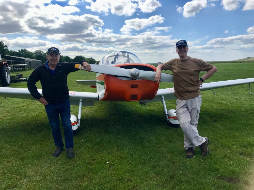
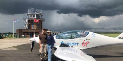
Luckily, I had just the right candidate in mind – Nick Cox, an old friend and engineering colleague from my RAF days – who had flown with me on a number of occasions before. Having approached him, we agreed that the competition dates at Compton Abbas worked well for us, and I completed the competition paperwork. We both read through the briefing material, and agreed that irrespective of how we performed, it would be a great learning opportunity.

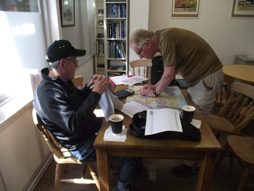
We flew down on the appointed day to meet our briefer for the day who turned out to be another old RAF colleague, Graham Purchase. A comprehensive brief was provided, and Nick and I then settled down to start our planning.

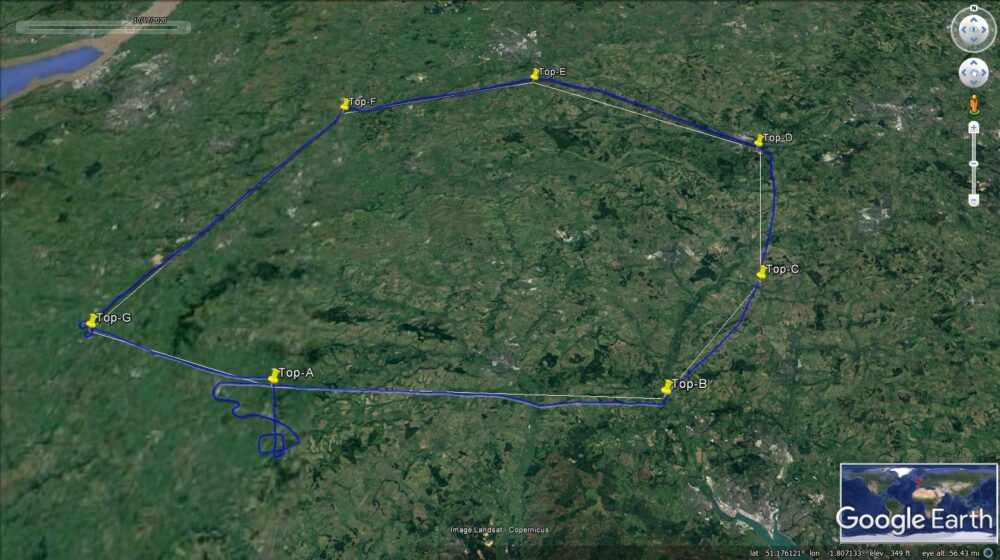
Once Graham had checked to ensure that we had correctly identified the turning points on the map (a brand new 1:250,000 bought specially for the occasion), we started to plot out the route, and produce the competition log (like a normal PLOG but with a lot more detail).  Then we ran through an abbreviated threats and error management check (Notam, obvious airspace and so on). We identified that there was a major gliding competition on, which would cut across two of our legs, so a good lookout would be imperative. Airspace would not be a problem unless we significantly overshot our first turning point – and we identified a good landmark to make sure we didn’t do that.

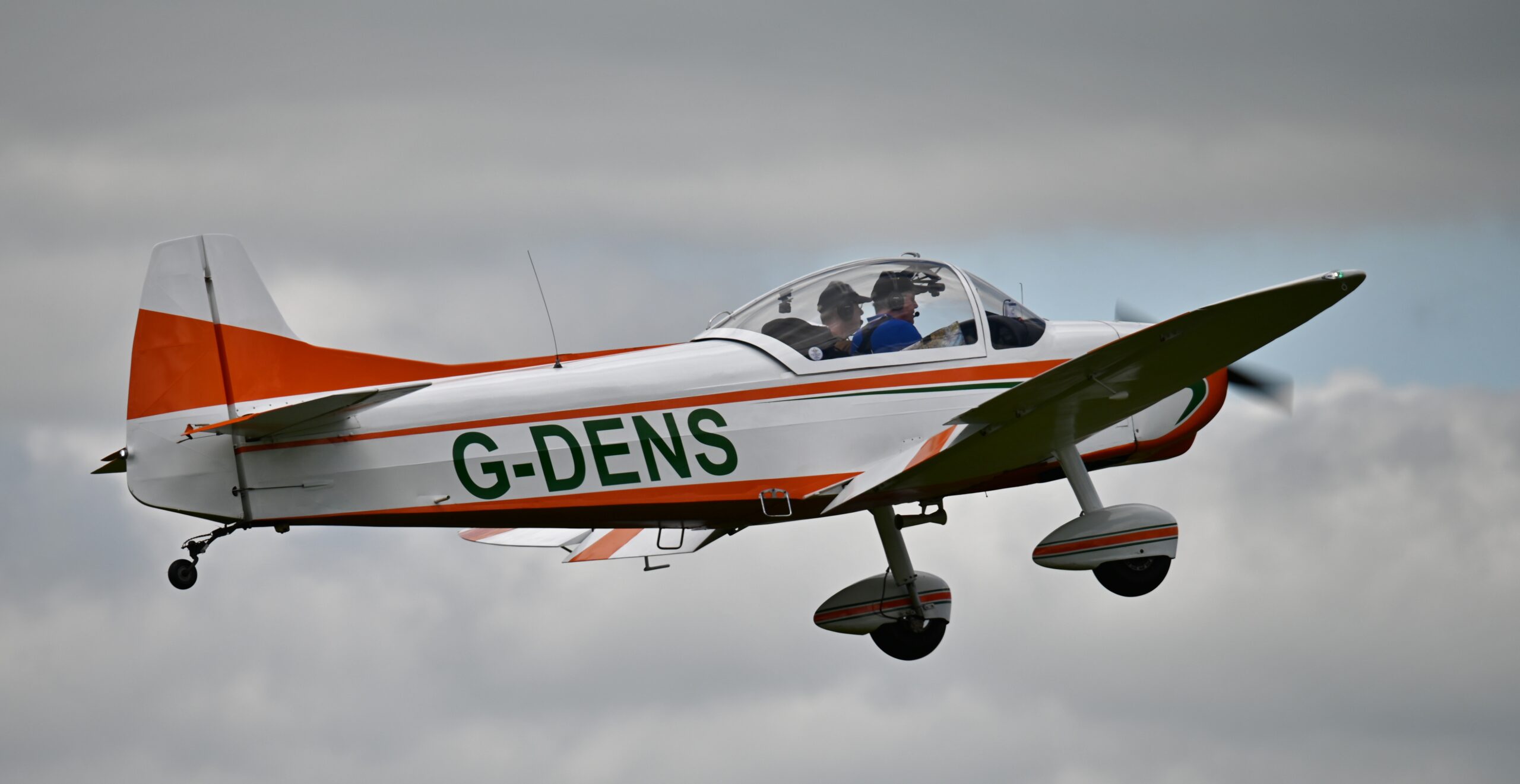
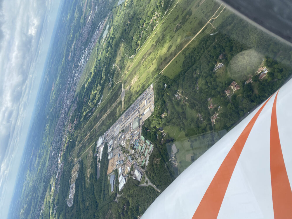
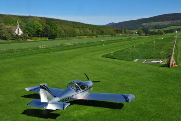
After take-off, it felt very odd to be departing the circuit without a GPS in sight, but Nick and I focused on finding the start point (a road/rail intersection), and then setting up to cross it on the right heading for the first leg. We did have a few issues with getting a photograph as Nick’s camera chose that moment to play up (the air in the cockpit was blue for a few minutes) but we then started our stopwatch and focused on the flight.

We had agreed that I would focus on holding the heading, altitude and speed steady via a ‘lookout-attitude-instruments’ work cycle, while Nick focused on navigation, timekeeping, additional lookout – and putting in-flight notes onto the competition log. It’s worth mentioning that we did have PilotAware working on audio only, and therefore Nick did the ‘first look’ in response to any traffic warnings.

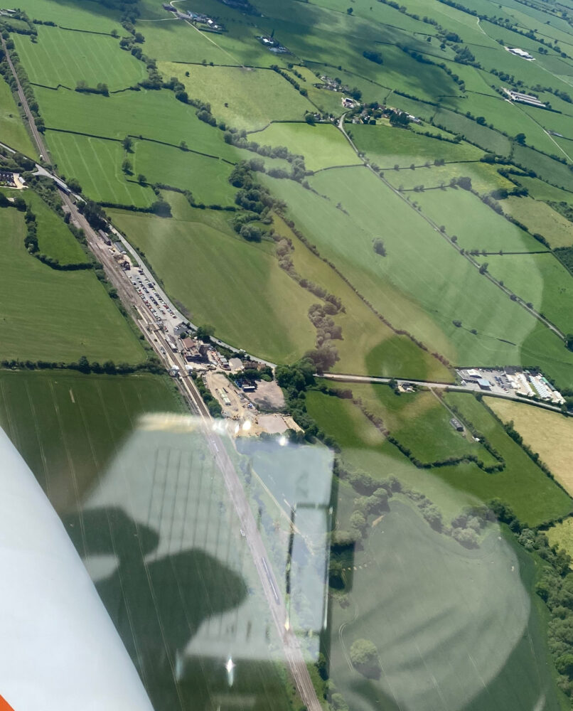
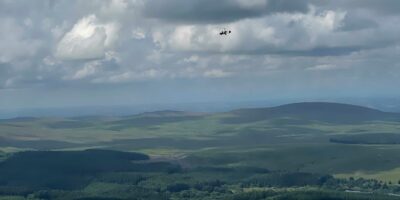
The first leg was fairly straightforward, with the halfway checkpoint coming up on time, and the first turning point (junction of a disused railway line and road) identified without too much angst. Feeling slightly more confident, we turned onto the next heading and restarted the clock. This time it was clear that our ground speed was not as planned, and Nick therefore corrected our ETA – which was spot on the revised time as the next point (a major road junction) came into view.

Top Nav Greenham Common
Turning points ranged from the very obvious (Greenham Common)…

The next two legs were noticeable not so much for the navigation (which was fine) but for the amount of other traffic around – mostly gliders as expected – but also some paragliders who were several thousand feet above us.

We counted upwards of 40 gliders, and trying to steer an accurate course while ensuring adequate clearances were maintained was challenging, especially in terms of trying to work out when they were likely to leave a thermal and in what direction!

It was also noticeably more thermic and trying to maintain altitude, direction and airspeed became a lot more… interesting. Nevertheless, the turning points came up as expected (one small airstrip which was easy to identify, and a road junction which was a little less obvious) before we headed off on the penultimate leg.

Top Nav
… to the nearly impossible. See the road crossing over the river? It had clearly dried up some time ago!

The final turning point proved the most problematic. We had identified a prominent landmark from which it should have been easy to lead onto the point in question, but even though we could see all of the other features, we couldn’t see the river that was marked clearly on the map.

Eventually, after making a couple of orbits, we worked out that it was dried up and marked only by a thin line of trees along its previous route. Picture duly obtained, we headed back to the start point and then to Compton via an overhead rejoin.

Top Nav
Neville's actual vs planned route

After landing and taxying in, Graham conducted a thorough debrief over a coffee, giving us the opportunity to talk through our in-flight ‘log’, plus any particular issues. Elements we brought out were the challenges occasioned by the gliders and paragliders previously mentioned, as well as the difficulty in finding the river/road junction!

Suffice it to say that as Nick and I left Compton, we were very happy to have participated and had already thought about ways we could improve our performance next time around. The only element left to do was get the digital pictures of the turning points, mark them up and send them to Graham, who already had the physical log from the day plus the results from the GPS dataloggers.

Duly done, Nick and I went off to enjoy the rest of the summer without much more thought and it was something of a shock when I was contacted by John Cairns to say that Nick and I had won the overall competition!

It’s not all about the purple line…

Top Nav

Receiving the Winner’s Certificate from Sir Alan Massey, left, former Second Sea Lord

Sadly Nick couldn’t be at the awards ceremony at the Royal Geographic Society HQ in London, but I felt very proud receiving our winner’s certificates – and it was great to talk to the team from Bodmin who had won the junior navigator category award (under 25, with an award from Pooleys).

What did Nick and I get out of it? Apart from some old-school elements such as manual production of a PLOG and marking out a map, some elements that were directly transferable to day to day flying:

  • Having some clearly marked landmarks that can act as a check on timing and course
  • Practising the mental maths associated with revising an ETA
  • Using that threat and error management approach in advance when planning a route.

Most importantly perhaps, overall a great deal more confidence in our ability to fly a course relatively accurately without the aid of a GPS and purple line to follow!

So – if you’re looking for a flying challenge in 2023, and would like to brush up on your navigation skills – Nick and I can happily recommend having a go at TopNav. Lots of great learning points, some excellent tuition/guidance/feedback, and the opportunity to see just how good you are without a purple line to follow. Keep your eyes open for the competition announcement next year and the RIN GANG will be delighted to hear from you! Hopefully we’ll see some of you at one of the competition sites.

Share

Leave a Reply

Share
Topics
  • 2
  • 3
Enjoy 3 Free articles OR Join today to enjoy unlimited access to all content
Join today

We use cookies to give you the best online experience. Please let us know if you agree to all of these cookies.