FLYING ADVENTURE

Lure of the Pyrenees

Garrett Fisher prided himself on being a ‘mountain flying’ expert. Until he got to the Pyrenees, discovering that the journey was altogether a new frontier…

While I can’t speak for Europeans, suffice it to say that Americans barely know that the Pyrenees exist. Partially influenced by their distance and remoteness, American ‘geographical ignorance’, and the reality of being outshone by the Alps, the mountain range is something of an afterthought. 

In my case, it very much became a reality when I moved there some years ago, the process of a rather short search exercise. I was looking for nice living – and a decent airport – and only happened upon the place because of an errant internet search, the result of remembering my French teacher at school mentioning the tiny country of Andorra. From there, things fell into place, and I was on my way to La Cerdanya, a high-altitude, wide, east-west valley that straddles Catalonia and France, with Andorra bordering to the north.

It is obvious that aviation would be something I would have to figure out once I got there. After perusing maps to understand that the highest peak in the chain is at 11,168ft, I thought that it shouldn’t be much of an issue as, merely 10 months prior, I had left the US State of Wyoming with the Cub after having flown hundreds of hours in higher mountains in the Rockies. Surely things would be similar, and I would enjoy myself as I explored a new and beautiful place?

“Once clearing the border into Andorra, it’s possible to look down the chain of the Pyrenees, and it is nothing but a cheese grater of rock”

Spine of Pyrenees from west of Andorra

To understand the ignorance of this statement can be tied to the flight getting into the Pyrenees in the first place. I had heard about ‘La Mistral’ from another pilot and thought that the idea was silly.

Who names winds, other than Californians with the ‘Santa Ana’ wind? All we say in the US is, ‘it is windy’ and, if we’re feeling really precise, we might note the direction and temperature trend… The idea that a single geographic location could be described as ‘windy’ and be given a name seemed absurd.

The fact is, the wind lives up to its advertisement. Taking off in a furious Mistral wind in Valence, France, I fuelled in the ‘Tramontane’, another furious named wind, this time howling to the north of the Pyrenees. Somehow, between an anaemic flight briefing and conversations in limited English with people at airports along the way, I determined that things would be fine in the mountains, which turned out to be partially correct.

As I entered the Pyrenees, I was personally captivated by the scenery. It was a sunny September day that reminded me of Colorado or Wyoming. I rounded the bend into La Cerdanya near Font Romeu, France, and promptly got beaten up repeatedly by strong turbulence as I entered the circuit and landed. The windsock was virtually limp, the sky an intoxicating blue, and the scenery stupendous. It was hard to believe that this place was my new home.

La Cerdanya Airport (LECD)

I spoke with the soon-to-be retired airport attendant about my turbulent experience, and he explained to me that north wind days are rather foul and that the north side of the valley is far worse than the south side. While I trusted him, every indication visually available to me was telling me otherwise.

It is not to say that I would actually listen to what he was saying. Not too long afterwards, a front had come through, the air cleared brilliantly, and a north breeze was blowing, although it wasn’t too strong on the ground. I intended to go to the Val du Querol on the French side and wander around, taking care not to go around the summits where things could be raucous. At about 1,500ft agl and five miles north-east of the airport, I hit turbulence over farms that was so bad I whacked my head on the overhead brace sending cockpit items flying. Spooked, I turned around and stayed on the calm south side of the valley as I had been previously instructed. That then led to a further conversation with the same attendant, who explained in further detail that north wind days feature angry winds which, in this instance, funnel out of that valley then meet up with La Cerdanya, change direction, and carry on. His advice was basically not to bother going over there if the wind was out of the north.

“But how will I go flying on nice days? It seems that the clearest days are out of the north,” I asked. He explained that an unfortunate reality of the area was that the finest air clarity was associated with the worst winds, and that was that. For me, that was exceptionally pernicious, as the mental trigger of a glorious day would fire over and over as soon as a front came through. Rain would disappear, the sun would come out, haze would literally blow away within the hour, the air would be still in the valley, and I would take off… only to get trounced as soon as I got in the air.

Western Pyrenees in mid-July

Experienced local

At this point, it may appear that I am somewhat dense. To understand my unrelenting drive to fly, in spite of wisdom from an experienced local, it is necessary to add some context to the picture.

Instead of a wind-shorn, forlorn airport with shuttered hangars and a foolish American dragging a Cub out by himself – only to taxi in front of a horizontal windsock with a black sky getting darker, wondering why he is getting beaten up when he takes off – the reality was different. On north wind days, hordes of pilots would ascend from Barcelona, hop in German gliders, and get towed up in Rallye aircraft. At times, up to three tow planes would be at work simultaneously, yanking glider after glider into the sky, where they would disappear into the very winds I was being told to avoid. Surely if take-off was possible for a standard category tow plane, and gliders could fly in it, then why couldn’t I in my little Cub?

At the time, I declined from pursuing the matter aggressively. I had plenty I could do in the valley, on the south side and in other nearby locales, so I stuck to that and slowly nibbled away at learning more about north wind days. A reality that came to pass was that these famed ‘north wind days’ were often due to the placement of a high pressure zone somewhere near Normandy or west, where active, energetic air was pumped southward from the Atlantic. An overcast deck might exist all the way from Paris, ending at the Andorran ridge or at Pic Carlit, France, visible from the airport. As the clouds spilled over the mountain, they would dry up, deceptively presenting a pleasant, sunny day, which was instead a rather vigorous Pyrenean föhn.

Monte Perdido (forbidden zone)

Once that high pressure zone moved closer to the Pyrenees, the winds would calm down, and the fun could begin. Within a few weeks of arrival, I crossed into Andorra at roughly 10,000ft and was rather surprised by what I saw. Mountains in the US Rockies tend to consist of a single, narrow chain with a very wide, flat, dry valley in between. Pines clad the slopes, snowy ridges above timberline are along the top, and a lower tree line exists below.

All that negates some of the terror factor flying in the wilderness, as gliding to the arid region below ensures a survivable landing. The Pyrenees offer no such illusions. Once clearing the border into Andorra, it becomes possible to look down the chain of the Pyrenees, and it is nothing but a cheese grater of rock.

To me, it was far more rugged than the Rockies. While the Rockies can be significantly higher, to the point that the Cub was stationed at a valley airport at 9,927ft msl in Colorado, timberline is at 10,000ft to 12,500ft from southern Montana to Colorado. In the Pyrenees, timberline is curiously the same as most of the Alps – 7,500ft. That belies a glaciated past (and present), which means that the terrain in existence, albeit at a shorter elevation, is extremely harsh. I had only seen scenes similar to the Pyrenees in the Wind River Range, Wyoming, a range that is extremely harsh, very high up, and hosts the largest glacier in the American Rockies.

Altiport La Llagonne, France

After that first flight dabbling over the skies of Andorra, I bought a three-day supply of food and a tent to add to my sizable first aid kit. That gear has gone into the aeroplane and has never come out to this day. The rationale, as evidenced by imagery, is that there are few farm fields down in the valleys. Since most terminate in a canyon, river, or deep valley, I was consistently attracted to an above-timberline landing in the event of engine failure, which would have meant I should reasonably expect an overnight stay before rescue.

When winter came, I contemplated the reality that many of the best afternoons to take a long mountain flight were those the day before a storm, which meant that a hypothetical engine failure would occur hours before nightfall when a storm was due to arrive, where it could be blowing and snowing for a few days. My survival gear grew to include more water, snowshoes and more winter clothes.

If the view of the chain of the Pyrenees is somewhat fear-inspiring, then a flight to the highest part of the mountain range is confirmatory. The eastern part of the range is driest and the western the wettest, which means that whatever snow I was accustomed to in the mountains of La Cerdanya was peanuts compared to the region around Pico Aneto and further west. One extreme storm system in 2019 dropped two metres in the central Pyrenees, which would explain that the few remaining remnants of glaciers are found in that section of the mountains.

Getting beaten up on first flight into Cerdanya
Pico Aneto from France

Rocky and menacing

It is hard to describe the amount of rock that is visible in the environs around Pico Aneto. While the Alps are rocky and menacing, the history of the Ice Age demonstrates how large and long the glaciers were in the Alps, carving out massive valleys with flat valley floors. At its maxima, the Pyrenees had plenty of glaciers, but not enough to flow out and carve out lakes at the base of the range. Consequently, there are no low passes like the Alps. The entirety of the high section of the range is like a merciless, unforgiving plateau, which means any emergency would result in a landing among rocks and a very long hike down. It was something that I never fully did get comfortable with, although was something that I had to accept.

I would say that my favourite section of the Pyrenees is just west of Pico Aneto, around the Valley of Benasque. Terrain is Alps-like in its height and severity, with a short, private, grass airport (Castejón de Sos) wedged down in a hole. Further west the rocky intrigue continues. However, a rigidly enforced restricted area over Monte Perdido, Spain, along with 1,000m altitude restrictions on the French side, reduces the raw freedom that generally can be found in most of the Pyrenees.

Pico Aneto (distant) July

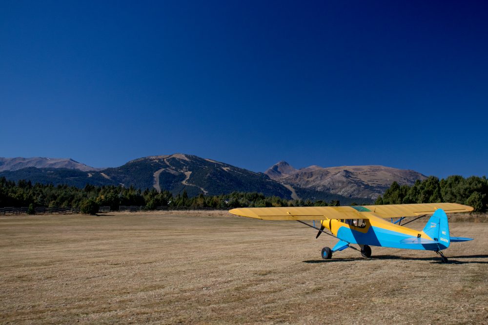
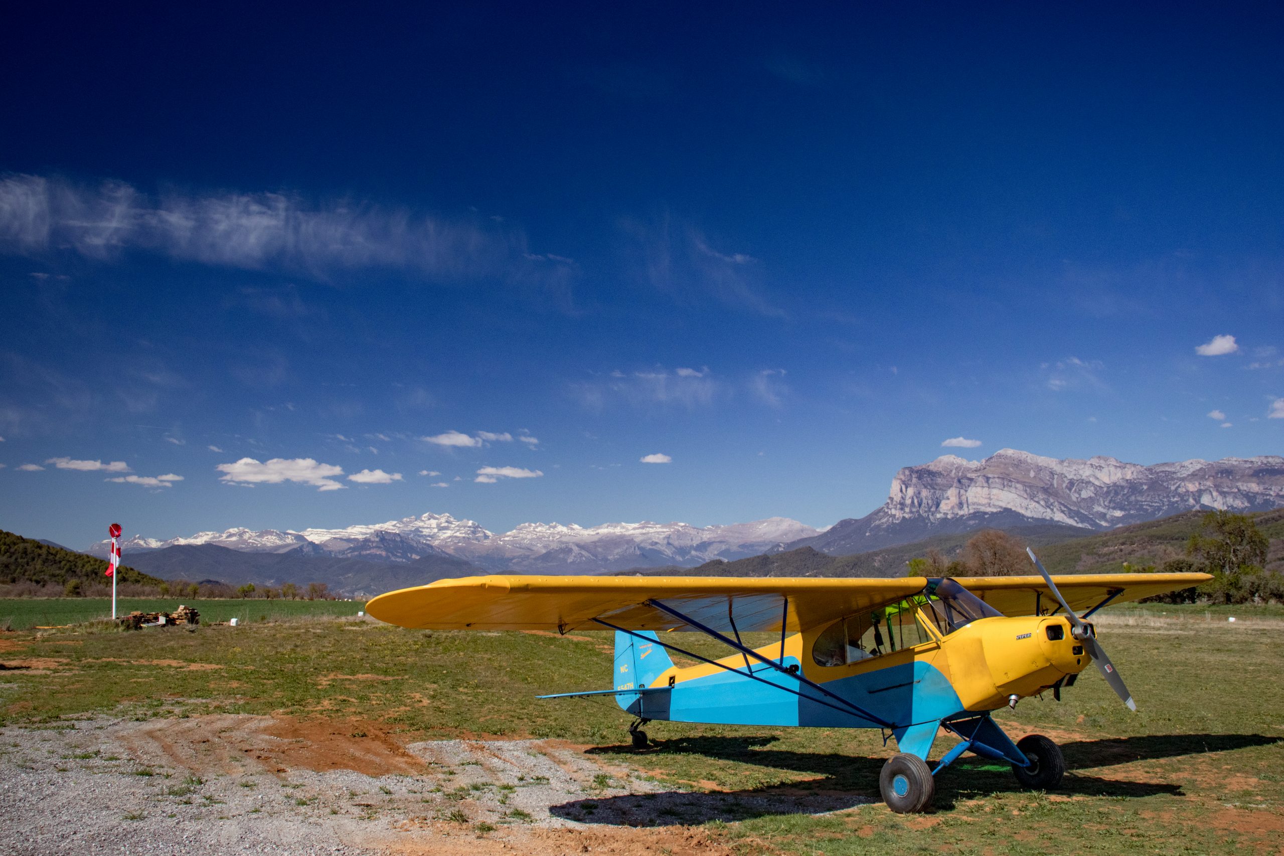
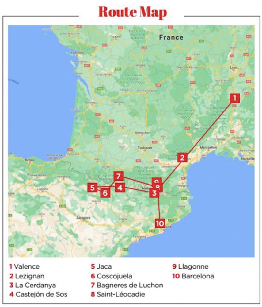
Airports are rather sparse in the mountains. I visited Jaca in Spain, on the south side a few times for fuel, the gyrocopter school at Coscojuela on the Mediano reservoir in Spain; Bagneres de Luchon, France; Castejón de Sos as previously mentioned, Saint-Léocadie, France for instruction, and one altiport in Llagonne, France. There is one other paved altiport at Peyresourde, France, that I am remiss for not having visited, as it was featured in the film Tomorrow Never Dies. There are others in the foothills on the French and Spanish side, although nothing like the population of airports which can be found in the Alps. Andorra only has heliports.

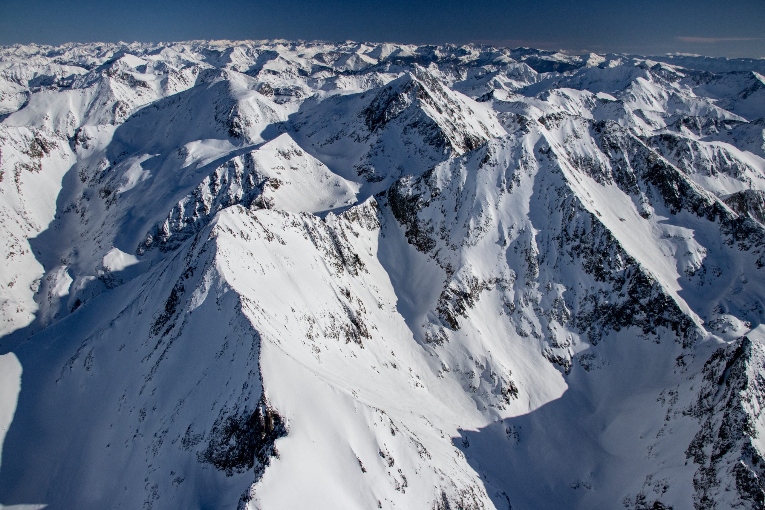
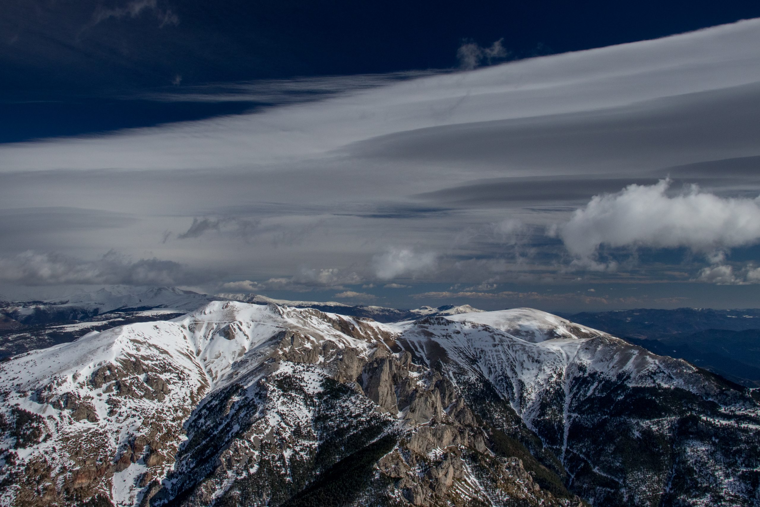
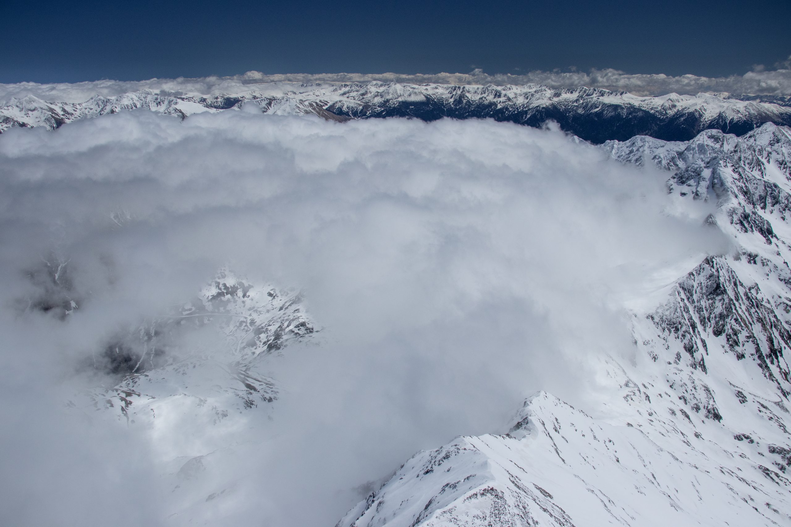
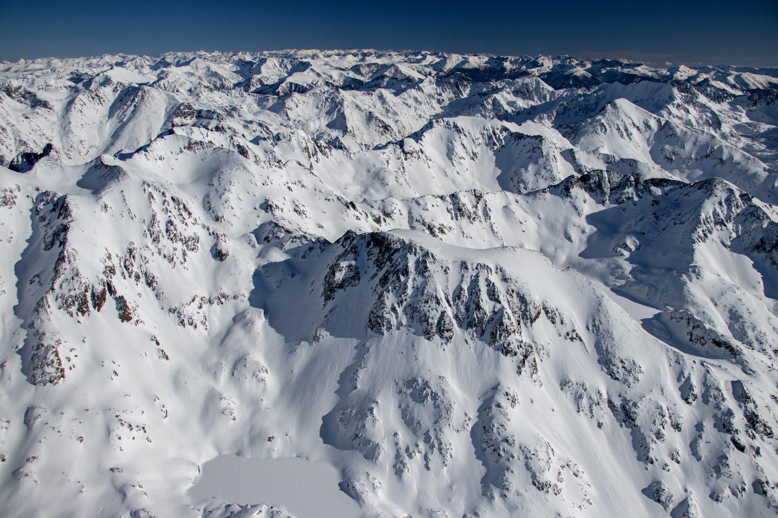
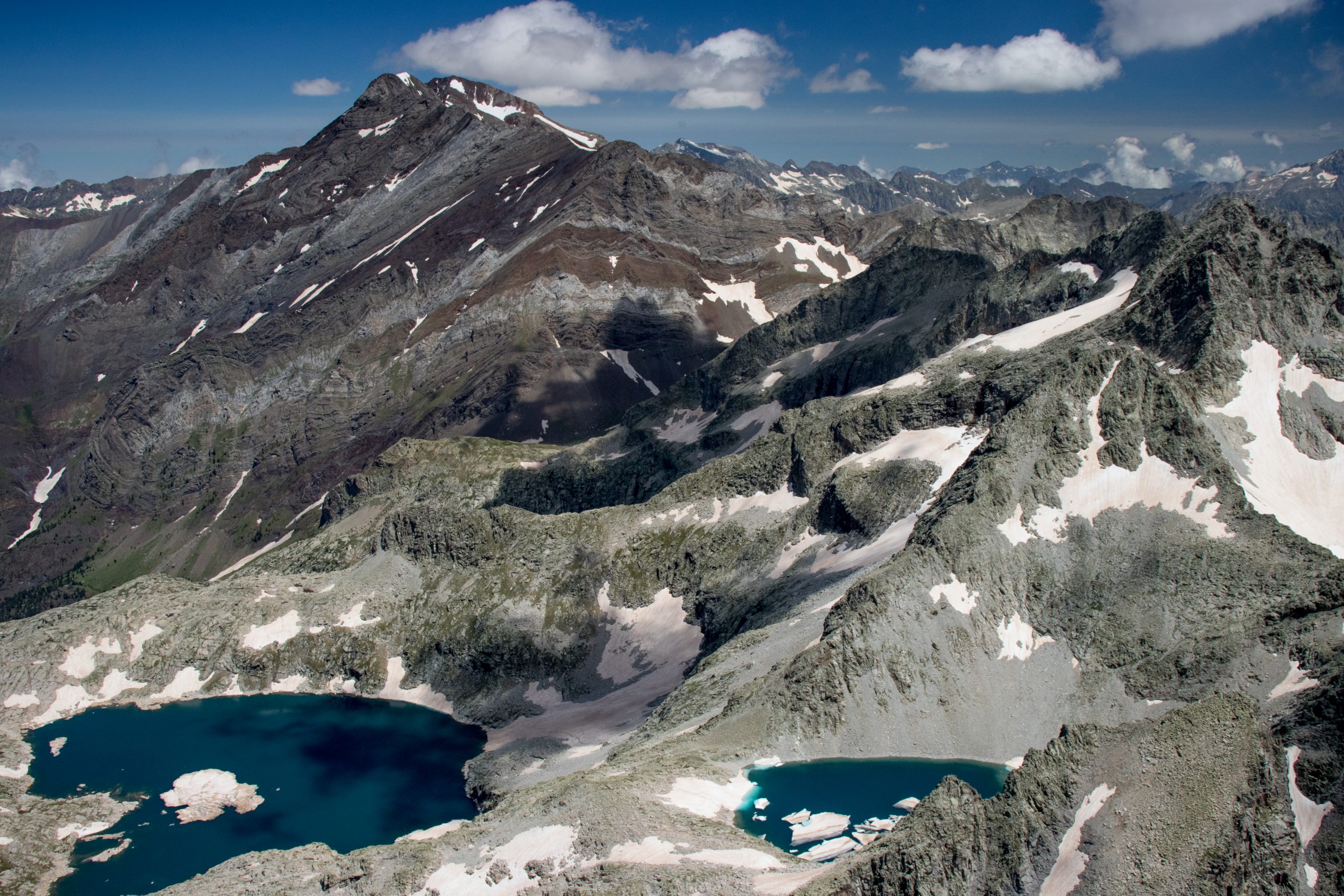
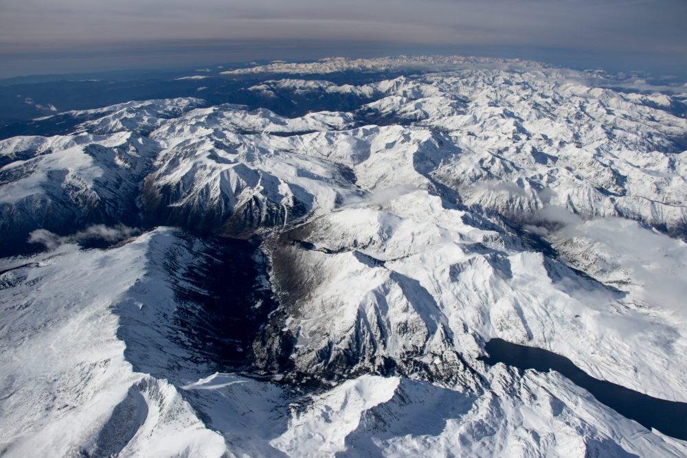
While it is possible to explore the entirety of the mountain range on nice days, there was that nagging issue of the frequency of strong, north winds. The fact is, La Cerdanya is on the leeside of that phenomenon, which is ill-suited for conventional aviation, though ideal for gliders. On winter days, I could see mountain wave clouds rising as high as 40,000ft, in classic lenticularis formation. Spanish pilots reported taking gliders as high as 7,000m, regularly sailing the length of the mountain range on days that I would describe as rather awful. “If they can do it, I can do it,” I said to myself, and slowly but surely chipped away at the nagging problem.

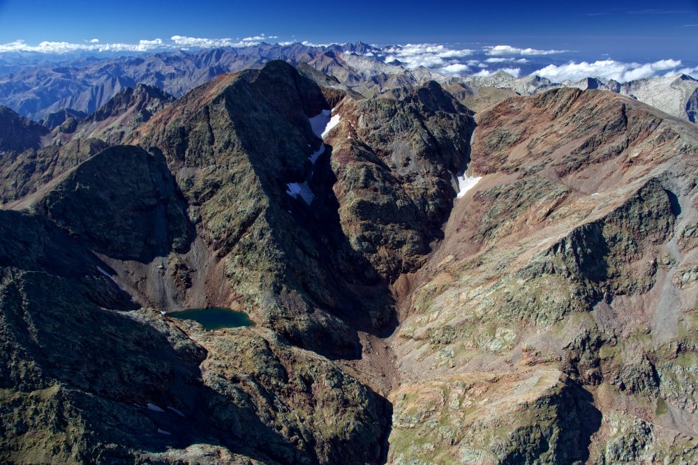
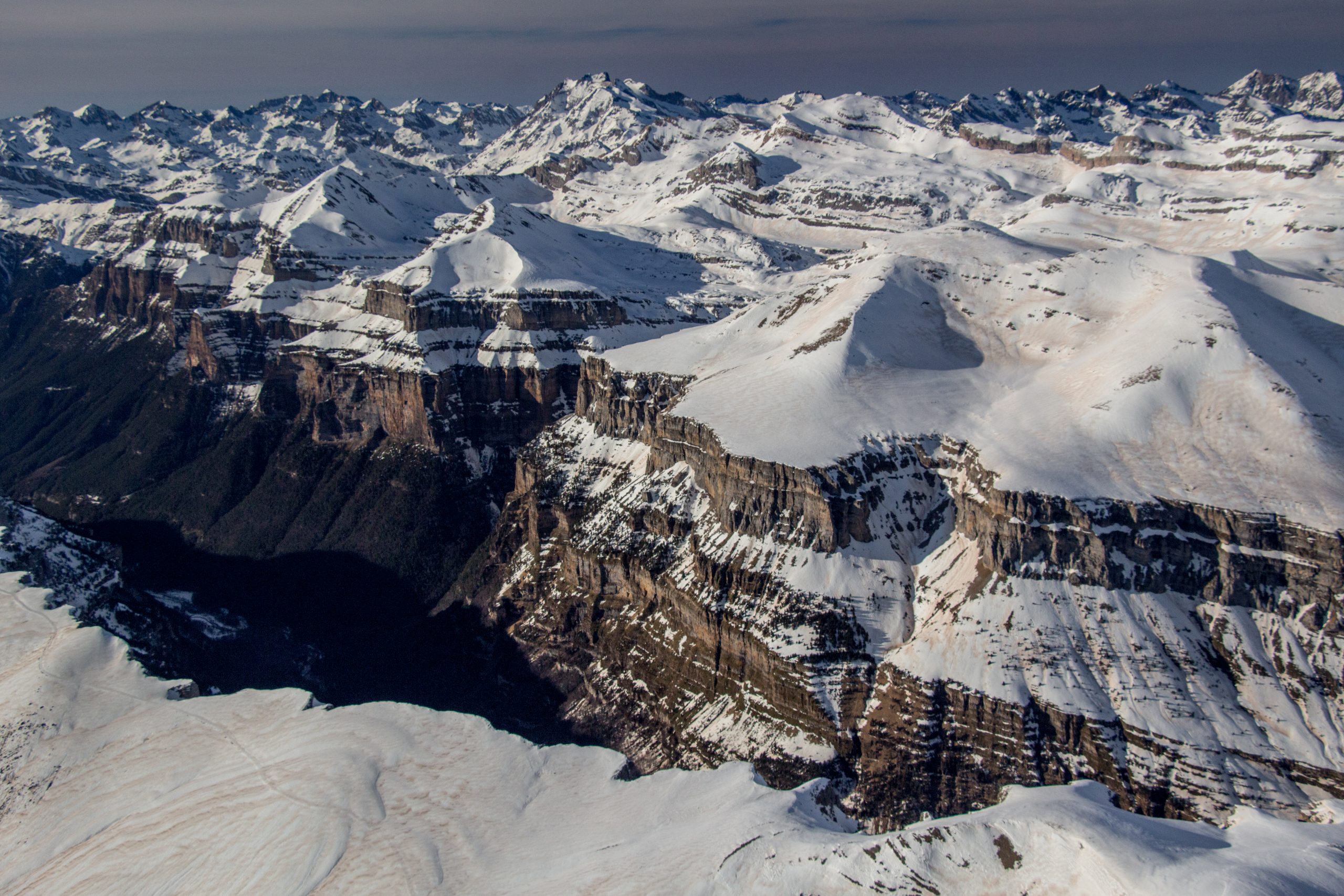
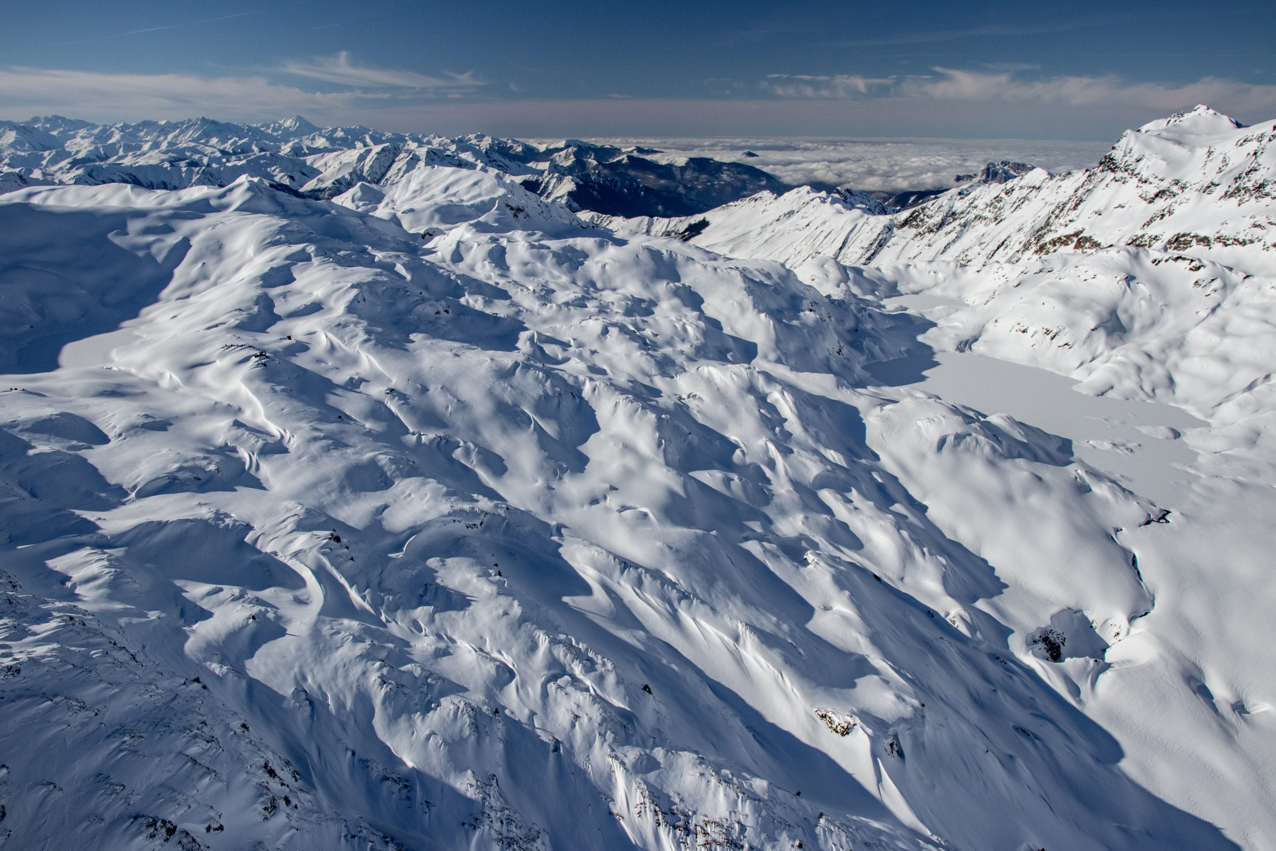
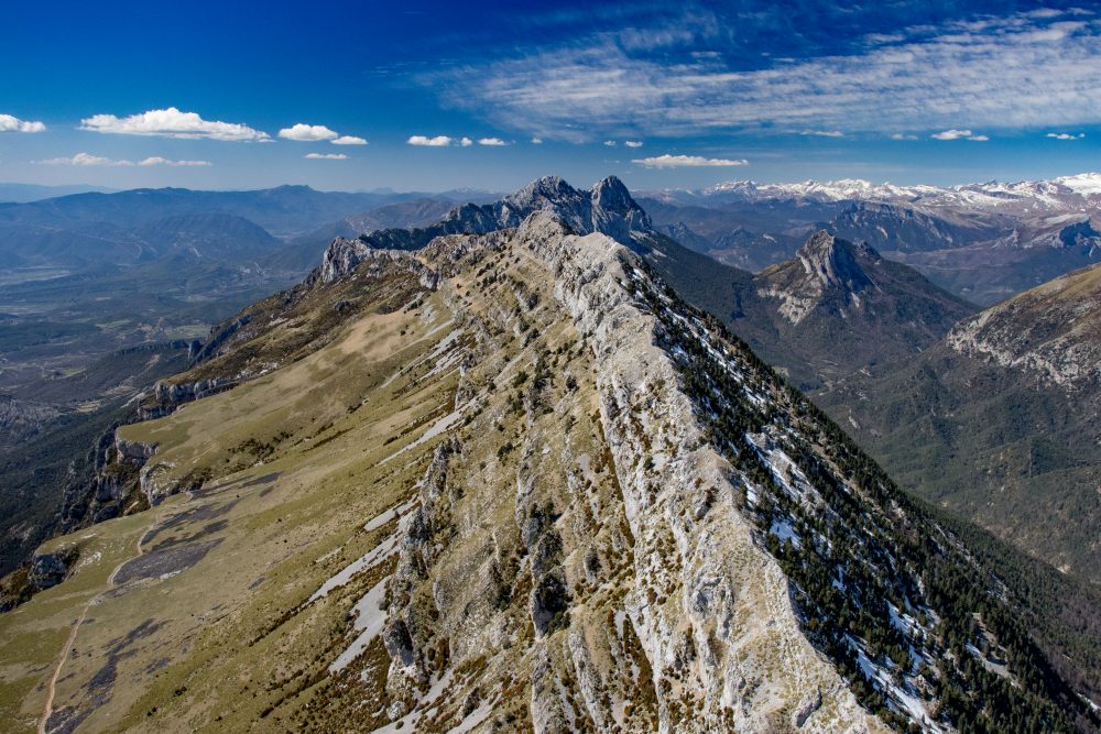
The first thing I discovered was that I could fly along the ridge of Cadí-Moixeró, along the ‘pre-Pyrenees’, which are also the south side of La Cerdanya, in winds as high as 40kt. As long as I was upwind, then the experience was tranquil, though I must confess that blowing snow on the mountain next to me was a first. Eventually, after great amounts of conversation with glider pilots, I deduced that I could aim for the feared Andorran ridge, even on a north wind day, and conquer it.

Wave signatures

Mountain waves were obviously well above the mountain range, launched skyward by the abrupt north face of the Pyrenees. Upper-level winds, unabated by the flat regions of France, would impact and bend upward, creating wave signatures that the gliders liked so much. As I first discovered, there was some wind that tried to snake its way through high passes. The rest was the classic rotor configuration, where a friction layer existed between high-speed upper-level winds (found often right at the highest ridge), and nearly silent winds down in La Cerdanya. The goal was to find a way to get into the mountain wave on the ascending side without getting beaten up or shredded by tumultuous mixing of air currents.

It is hard to describe how the process is done. It is largely intuition, a product of having flown in so many mountain ranges. Rotors are not unilateral. Topography makes them stronger or weaker, offering windows of air where bumps are minimal, and one can cross over into the promised land of serene, silent high-speed wind. Eventually, it became not only something that was done once (with blowing snow below), but something I could do at will. If an interesting cloud formation, mountain lighting, or other scenery intrigued me, there were sneaky avenues to enter northerly upper-level winds, from the leeside down below, without getting more than a few bumps.

Mountain wave over Cadí-Moixeró
Puigpedrós in 40kt wind with wave
Fire in central Pyrenees

That skill culminated one winter afternoon in a short flight directly to the north of La Cerdanya. Winds at summit level were rather strong out of the south-west, with a broken cloud layer skirting below the summits. There was a persistent hole above Meranges, a village that is an identifying point for glider radio communications. I had it stuck in my mind to get above the clouds, and to do it in that hole, not in the partial cloud layer directly above the airport. Getting bumped around a little bit approaching the cloud base, I circled 360° while climbing in the hole, surfaced just above the clouds, and saw a massive mountain wave to the north of the Pyrenees. It was a classically strong wind day, except in reverse, with clouds forming and blowing across Puigpedrós, a 9,563ft summit below me. Extrapolating GPS ground speed differential, winds were 40kt at 10,000ft, yet it was an uneventful crossing into orbit, where I then circled back down and landed in light winds.

I am not sure if that is my greatest achievement in the Pyrenees, or an event that followed not too long thereafter. Driven by a combination of boredom and fatigue at noticing that gliders were in the upper atmosphere while I was not, I decided to break my altitude record with the Cub. It was previously 16,300ft, achieved in Colorado with a passenger while riding some light, favourable winds above Leadville. I talked to the airport manager, an avid glider instructor, and he advised where I should expect to find the wave, which on that day was south-east of Pic Carlit. Climbing through 10,000ft, turbulence was getting worse, almost to the point where I thought of aborting, and then it eventually stopped at about 12,000ft, where I entered the first part of the wave. Climb rates of 100fpm became 500fpm and more, and not too long thereafter, I was at 16,000ft, before the climb flatlined under full power. Dealing with very chatty French ATC, extreme cold and workload, I finally put the oxygen mask on, which made everything easier, before catching the next wave and riding it clean to 19,000ft.

Pyrenees from 19,500_, Val du Querol France

At that point French ATC had tried to put an end to my little charade, and I begged to be allowed to break my record, so they passed me to a different frequency that controls that altitude. Eventually they put an end to the climb at 19,500ft as I would be entering into some sort of corridor for airliners into Toulouse. The aeroplane was still riding the wave, so I had to bring the power back to maintain altitude. It was amusing during the descent when a controller asked my destination. When I replied with the airport identifier, he asked why I was not flying direct to it. “Because it is eight miles away and I am four miles above it.” Eventually they passed me to Barcelona Approach, which was not concerned with little aeroplanes over the Pyrenees, so I circled down and came home, where I spent the next few hours warming up my body temperature.

I find that mountain flying can have two distinct personalities. While what I write describes a place filled with danger, hidden winds and other calamities waiting to swallow pilots, the fact is that, on a reasonable VFR day, a basic GA aircraft crossing the Pyrenees with an altitude buffer would find it uneventful. Twenty or 30 minutes of looking at mountains either in front, below, or slightly behind would give way to the flight continuing like any other. It is my immersion down in the mountains, flying the length of the chain, in every possible weather configuration, which gives rise to the obvious sensation of risk. Yet, one cannot discount the alarming amount of alacrity for which pilots point the nose of an aeroplane toward a mountain, fly into it, and kill everyone in the aircraft… on VFR days. It happens in the US and Europe at seemingly senseless frequency, so we cannot ignore the propensity for simple ignorance and miscalculation to result in needless death.

Central ‘pre Pyrenees’ during a dry spring

On a personal level, by the time I got to the Pyrenees, I thought I was a mountain flying expert. I had already flown the highest peaks and glaciers of Colorado, Wyoming, Montana, parts of Idaho, and parts of Utah, inclusive of increasing the amount of wind and marginal weather that I dealt with. My personal expectation was to continue prior practice and explore more areas. Instead, I found that the journey was a new frontier on many levels.

The obvious being that the Pyrenees was something new to me, with unique weather features that took time to learn and understand. The second factor was how the presence of time and a nearby airport conspired to allow aviation to happen in short, frequent flights. In most situations where a pilot lives a distance from the airport and a club aircraft must be reserved, the idea of seeing something unusual and hopping in for a quick flight is not possible. With the airport less than eight minutes by car away and with no landing fees, I took many 20- to 40-minute flights chasing weather phenomena, clouds, and precipitation, with a nearby airport ready when I needed to dive back to safety. I would venture to guess that my expertise more than doubled flying in the Pyrenees. I can also claim, with some authority, that I think the winds in the Pyrenees blow at a challenging speed on sunny days far more than in the Alps – though that is a story for another time…

  • Garrett Fisher has published 30 books, of which 27 pertain to aviation and five are filled with photography from the Pyrenees. He blogs regularly about his flying adventures here.
Share

Leave a Reply

Share
Topics
  • 2
  • 3
Enjoy 3 Free articles OR Join today to enjoy unlimited access to all content
Join today

We use cookies to give you the best online experience. Please let us know if you agree to all of these cookies.