Reading-based Altitude Angel is planning to build the world’s largest and longest network of ‘drone superhighways’ which would link towns and cities across the UK.
Altitude Angel describes itself as a Unified Traffic Management (UTM) specialist.
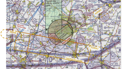
It’s plan for the drone highways would first connect the Midlands with the south-east and urban conurbations along the UK’s south coast.
The consortium Altitude Angel heads has submitted plans for a 165 miles of drone superhighway connecting airspace above cities including Reading, Oxford, Milton Keynes, Cambridge, Coventry, and Rugby.
If the plans are approved there is an option to extend the superhighway to Southampton on the south coast and Ipswich on the east coast.
A statement from the consortium said its ‘Project Skyway’ will “enable businesses to develop and grow through the commercialisation of new and innovative drone-based products, processes, and services”.
“This is the most ambitious transport project proposed for the country since the advent of the railway network in the 18th century,” said Richard Parker, Altitude Angel, CEO and founder.
“Britain is at the forefront of a second transport revolution. Drones have the potential to transport goods in a way our ancestors could never have imagined but would have surely understood.
“Britain can lead the world in these innovative and life-saving technologies, we have the skills and ambition to open our skies to safe and secure drone and air-taxi flights.
“With the government’s support, using this technology as its foundation, we can create networks spanning the length and breadth of Britain, a super-highway-network-in-the-sky, providing a critical digital infrastructure which will, in-turn, enable the world’s first truly national drone economy.”
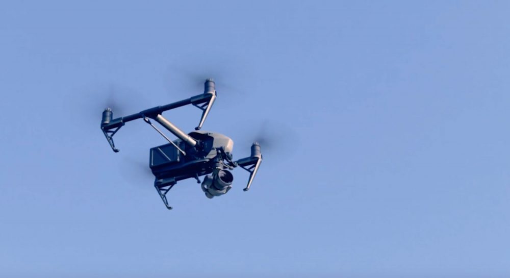
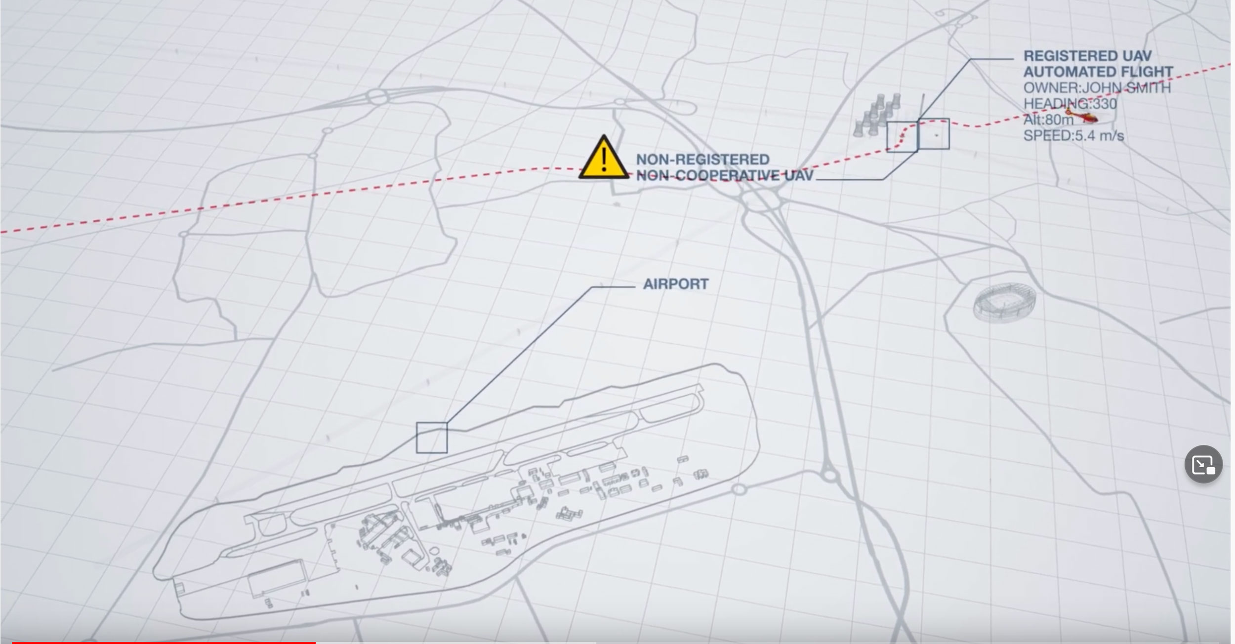
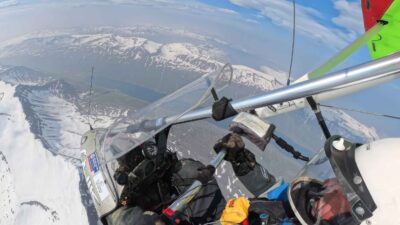
Altitude Angel’s traffic management system uses Detect And Avoid tech and would also work with airspace being used by manned aviation. Images and video: Altitude Angel
Altitude Angel says it has developed Detect And Avoid (DAA) technology for the five-mile Arrow Drone Zone that it has built south of Reading. It would use this DAA tech on the Skyway network (see video).
The statement continued: “The superhighway will be able to support fully automated drone flights beyond visual line-of-sight (BVLOS) from any drone company which completes a series of basic technical integrations which, crucially, don’t require specialist hardware on-board the drone.
“Congestion in the first 1000ft is predicted to increase, becoming the densest area of airspace as it evolves through the use of unmanned, General Aviation (GA) and other civil aviation. Project Skyway technology will permit ease of access, while monitoring deconfliction, without the need to close airspace as is the case today.”
The Unified Traffic Management (UTM) system, will enable flight requests, approvals, deconfliction and provides a single-source-point-of-truth for all traffic on the Project Skyway corridors through combined manned and unmanned situational awareness.